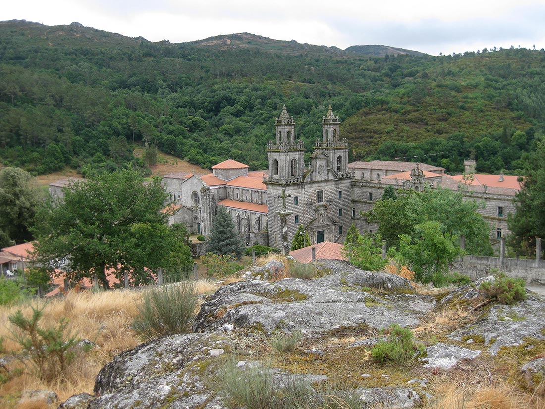
The Monastery was founded by four monks in 1137 under the rule of Saint Benedict and with the protection of Alfonso VII. In 1141, monks from Claraval arrived imposing the Cistercian discipline for the first time in Galicia. The façade of the church dates from 1637, as the original Romanesque façade was demolished to enlarge the naves. In the centre of the front there is the Virgin of the Assumption.
Inside the Monastery is the Patio de los Caballeros, dedicated to the hostel of the Knights who made the Way of Saint James. The Chapterhouse dates from the 15th century and is made up of columns of twisted shafts that intertwine in the shape of palm trees when they reach the vault. The church is of ogival Romanesque style, being finished in 1239. One of its most interesting parts is the girola, with a stone image of the Virgen de la Leche from the 13th century.
- Hostelry: Email: info@mosteirodeoseira.org; Tel: 988 282 004.
www.mosteirodeoseira.org - Pilgrims’ hostel: Tel: 988 282 004. 28 places.
The Monastery of Oseira is still standing because the monks of the Cistercian continue to rebuild it so that it is not lost in the Galician humidity.
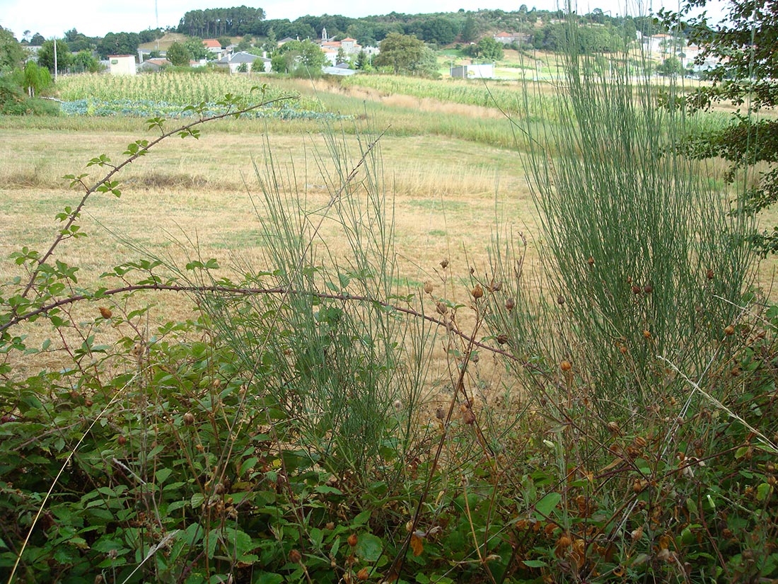
You leave Oseira by the left of the Monastery, there is a fountain in which you can take water; it has an arrow that indicates to the right. It goes up, but the view of the Monastery is partial due to the vegetation that surrounds you: ferns, pines, xestas…. When you reach the height of a pile of rocks, take the path on the left. Go out onto an asphalted road and after about 200 metres turn left. You descend to the previous track avoiding a big bend and you end up in Vilarello.
After 13.3 kilometres, leave the track and enter a path that leads to the right between stone walls, brooms (xesta), heather, gorse (toxos). At 500 metres you reach a wider path with stone slabs that descends to the river Arenteiro, which here, just born, is a stream. At about 200 meters you cross a forest road: oaks and more oaks surround you. You leave on a small road and turn left towards Carballeiriña. At the crossroads, turn left towards Outeiro. Before entering the village, the path exits on the right, amid shadows of oaks and with a long but not very steep climb. At 19.08 kilometres you cross the stream “Rego de Amedi”: this stretch is carpeted with flowers. About 20 kilometres further on, you will see the asphalt again (turn left) until you reach A Gouxa, which also has a typical fair construction.
At 500 meters, at the height of a ship, go to the right, (you can find this road full of water), then again to the right. We are in Vidueiro where there is a covered fountain and washing place: one of the pillars is used to put the arrow. You pass in front of horrible ships with beautiful cows and at the crossroads (where there is a windmill), turn right, follow a very pleasant path with brooms and silences.
The path turns to the left and at the next fork, also to the left. You can be guided by the telephony repeaters in front of you. Exit at the service road, follow it and it ends in the old road practically at